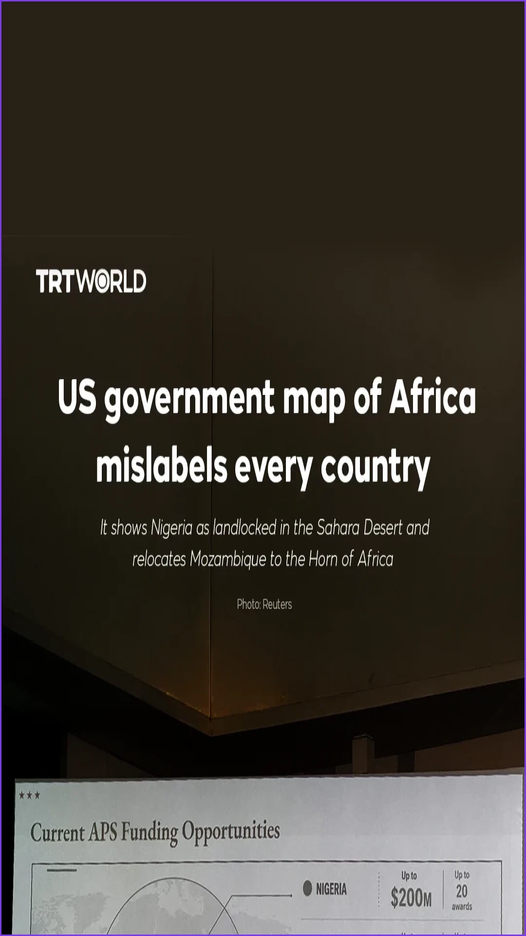
A map of Africa released by the US government has sparked concern due to widespread geographical inaccuracies. The graphic, which was intended to represent the continent, features errors that mislabel every single country shown, a total of 10 major errors identified by critics.
Among the notable discrepancies, the map incorrectly depicts Nigeria as a landlocked nation situated within the Sahara Desert. Additionally, the illustration relocates Mozambique to the Horn of Africa, far from its actual geographic position. These errors have drawn attention for their failure to accurately represent the political and physical geography of the African continent.
US1 min readUS government map of Africa mislabels every countryIt shows Nigeria as landlocked in the Sahara Desert and relocates Mozambique to the Horn of Africa.ShareGraphic Artist: Busra Ozturk, Producer: Nurdan Erdogan GokhanExploreCoal mine blast in Pakistan's Balochistan leaves dozens deadRenowned Nepalese climber