The United Nations has officially voted to phase out the traditional 16th-century Mercator map of the globe, opting instead for a projection that provides a more accurate representation of the Earth’s surface area. During a session at the organization’s headquarters in New York, 164 countries supported the resolution to move toward the 2018 Equal Earth design, while the United States cast the sole vote against the measure, describing it as “superfluous.” Six countries abstained from the vote.
Although UN resolutions are non-enforceable and do not mandate a total ban on existing maps, the decision is expected to influence educational curriculums, governance standards, and global technology. The initiative was spearheaded by Togo on behalf of the African Union. Togolese foreign affairs minister Robert Dussey argued that the transition is a scientific necessity rather than a political one, stating, “This discussion is not a political discussion [but] a scientific discussion, because there is scientific proof so we all have to accept the reality.”
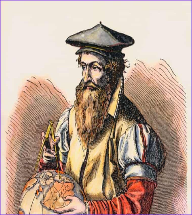
The Mercator projection, introduced by Flemish cartographer Gerardus Mercator in 1569 to aid maritime navigation, has faced decades of criticism from historians and geographers who argue it is rooted in Western stereotypes. Because of its design, the map significantly shrinks regions near the equator while inflating the size of high-latitude areas. For instance, while the Mercator map portrays Africa as roughly the same size as Greenland, the continent is actually 14 times larger than the Danish territory. Activists have frequently labeled the continued reliance on the map as “cartographic colonialism.” Some argue that the map has subtly shaped international power dynamics by minimising the physical presence of the global south and visually inflating northern hemisphere nations while shrinking equatorial regions. This is said to have reinforced systemic biases in international trade, development priorities and educational frameworks.
Togo’s #CorrectTheMap campaign, which gained over 11,000 signatures and received formal endorsement from the African Union in August 2025, pushed for the adoption of the Equal Earth projection. Supporters believe this change will help decolonize educational frameworks and correct long-standing biases in trade and development priorities. JJ Enoch, a senior associate at the geopolitical risk advisory firm JS Held, noted that the move signals a desire by African nations to ensure their demographic and geopolitical importance is no longer viewed through “inherited and distorted conventions.” He said: “Adopting an equal-area map … would provide a more accurate basis for education and public understanding, while signalling that Africa’s demographic, economic and geopolitical importance should no longer be viewed through inherited and distorted conventions.”
Ahead of the vote, France announced it would abandon the Mercator projection in favor of representations more faithful to actual surface areas, such as the Eckert IV projection. French foreign minister Jean-Noël Barrot stated that the move aligns with recommendations from scientists and cartographers. Looking ahead, the government of Togo is planning a collaborative event in Lomé with UNESCO, the African Union, and technology firms like Google Maps during the first quarter of next year to coordinate the implementation of the new standards.
At the session, 164 countries voted in favour of the resolution. Only the US voted no, with its representative saying the resolution was “superfluous”. There were six abstentions.
Speaking before the vote, Dussey said: “To those who say why now, I say: why not? When we look at the world map … it is time for us to change the narrative.”