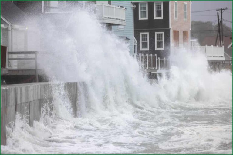
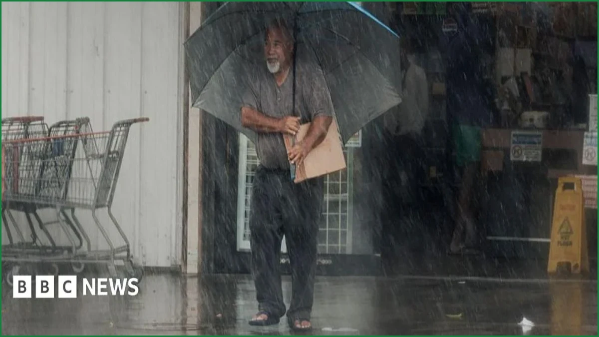
Strong winds and torrential rain are lashing Hawaii after category one Hurricane Lala skirted the Big Island on Saturday. The storm gained hurricane strength on Saturday, generating wind speeds that peaked at 91mph (146km/h). Forecasts indicate the system could dump up to 25in (63cm) of rain and produce a 3ft storm surge.
Although the hurricane did not make landfall, it came within 30 miles (48km) of South Point, leaving tens of thousands of residents without power and prompting officials to warn of life-threatening conditions, including floods and mudslides.
The National Hurricane Center reported that as of 17:00 local time on Saturday, the eye wall of the storm was brushing the southern portion of the Big Island. The hurricane is expected to continue its westward trajectory, with damaging winds and heavy rain forecast to persist across the Big Island throughout the night before spreading to smaller islands—including Maui, Molokai, Kahoolawe, Oahu, Lanai, Kauai, and Niihau—on Sunday morning.
A hurricane warning remains in effect for the Big Island, while tropical storm warnings have been issued for the other seven major islands.
Infrastructure damage has been significant, with more than 100,000 customers losing electricity across Hawaii by Saturday evening, according to the tracker PowerOutage. Governor Green confirmed that three hospitals also lost power but are currently operating on backup generators. Transportation has been severely hampered, with 190 flights postponed across the state.
At Ellison Onizuka Kona International, the Big Island's largest airport, 40% of flights were grounded, while 80% of flights were called off at Hilo International. In Maui, some residents reported a loss of water supply, though county officials noted that repair crews were unable to continue assessments due to inclement weather and downed trees.
Authorities have issued stern warnings regarding life-threatening conditions. The National Weather Service highlighted the southeast of the Big Island as being at the highest risk, noting that rivers and tributaries could rapidly overflow their banks, potentially prompting many evacuations and rescues.
Governor Green urged residents to stay off the roads, citing reports from the Department of Transportation showing streets flooded with fast-moving water and blocked by fallen trees. He confirmed that crews had already visited 30 affected sites.
Meteorologist Jennifer Myers, who resides in Hilo on the eastern side of the Big Island, reported that landslides have cut off some roads and power lines have been downed by falling trees. Describing the view from her apartment, she noted that the Wailuku River is running extremely high, and the usually blue waters of Hilo Bay have turned a blood-red color due to the influx of sediment and river water.
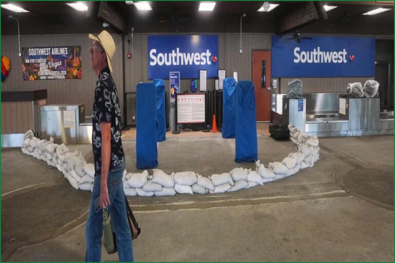
Residents have been actively preparing for the storm, with local social media groups showing people filling sandbags to protect their homes. The Hawaii County Civil Defense Agency has confirmed that public shelters are available in every part of the Big Island.
This event occurs against the backdrop of a strong El Niño, a phenomenon involving unusually warm surface water in the Pacific, which is being driven in part by climate change. As hurricanes feed off warm sea waters, this spike in temperatures can facilitate more intense storms. Hurricane Lala is a category one storm, which typically expects minimal damage, but it serves as a reminder of the state's vulnerability.
The last hurricane to hit Hawaii was the powerful category four storm Iniki in 1992, which made landfall on the southern coast of Kauai, resulting in six deaths and $3bn in damage.